As a result of increased food demand in production and consumption, the agriculture industry finds itself in a precarious situation. Supply needs to increase to an unprecedented level while at the same time commodity prices are at a record low. Is there a way for drones to help solve some of the problems?
Now more than ever before agronomists across the world must improve their management of resources in answer to stricter budgets. All the while the “farm to table” movement increases pressure for improved product tracing. Meaning, consumers have increased interest in how their food is grown and where their goods come from.
Additionally, climate change continues to add more complexities to the agriculture industry’s ability to protect the supply network. Fast evolving environmental conditions worsen these challenges. The latest projected figures estimate a general loss of 16% to agriculture by 2050 due to climate change.
Increasing sustainability practices to lessen the effect on the health of the planet is and will continue to be a priority moving forward. Furthermore, improved sustainability measures can provide economic benefits to farming professionals as they focus their efforts and resources more efficiently and effectively. One way to do this, and perhaps the most critical, is the use of unmanned aerial vehicles (UAVs) better known as drones.
UAVs in Agriculture: What Can They Do?
Today, drones are used in a variety of scenarios including disaster management, the military, humanitarian relief, and agriculture. According to a new report by Reports and Data, the agriculture drone market is predicted to reach $6.5 billion by 2026.
Their use in crop production has grown exponentially and at a rapid pace. Precision farming “combines sensor data and imaging with real-time data analytics” according to a report by the Food and Agriculture Organization (FAO) of the United Nations.
The data collected from drones improve farm productivity by providing a wealth of raw data that initiate analytical models used in agriculture. To date, drones can monitor the health of crops, scan soil health, help plan irrigation schedules, and apply fertilizers.
They can also estimate yield information and give helpful data to analyze weather, among other things. The information collected from drones combined with other analytic solutions and data sources supplies actionable information that agronomists can use in real-time.
Let’s Take a Closer Look at the Benefits of Drones to Agriculture
One of the biggest benefits of drones is their ground mapping capabilities making the traditional methods of the practice nearly obsolete. Due to the extensive areas that need surveying, drones provide increased efficiency. Users can take high-resolution pictures more rapidly than other practices. Especially in these unstable market conditions, estimating annual harvests can help manage expectations and guide decisions.
Drones are also a safer option for mapping a challenging area like expansive or uneven fields that can be dangerous for operators. This is especially true when compared with terrestrial techniques that must be done on foot.
Additionally, they provide more accurate imagery and are more cost-effective than manned aircraft and satellites that are currently used. Studies have concluded that even on cloudy days UAVs have a better resolution and a higher rate of accuracy.
Cameras on manned aircraft and on satellites have historically sufficiently lacked the ability to clearly map fields. That means it’s been impossible for them to get exact pictures of plants. However, UAV technology provides accurate photos of the plant’s different parts – even identifying diseases and pests early on.
In the past processing, high-quality images took longer than satellite methods and ground mapping. But today, new software solutions have reduced this process to just a few minutes. This means evidence-based decisions can be determined in the field and implemented immediately.
Two Types of UAVs – Fixed Wing and Rotary
Before drones should be implemented in agricultural management there are a few things to consider. There are two primary types of UAVs – fixed-wing and rotary and they each have their own specific advantages.
A fixed-wing drone is better suited to and provides more benefits for large areas that need mapping where take-off and landing space is vast. The drones high cruising speed and endurance allow a greater land area to be mapped and at speeds up to 2.6x faster. It can also endure high winds better, which is important when mapping large areas of open land. These drones have a resolution of cm/inch per pixel
A rotary drone like a multi-copter or quadcopter is preferred when inspecting and mapping smaller areas because of its ability to take high-resolution photos at a closer range. The take-off and landing areas can be extremely small which is ideal for more compact urban areas. They use mm per pixel.
Additionally, farmers will need to determine who will operate the drone. Outsourcing to a third party is an option, but so is training a team member in-house. Many are choosing the latter due to its potential return on investment. However, drone operators must keep up to date on all regulations and legislation is constantly evolving.
Drones – the New Normal
Unmanned aerial vehicles are the future “new normal.” The question isn’t if drones will replace the status quo, only when. To date, China is leading the UAV revolution with 42,000 drones flying more than 1.2 million flights each day.
As major grain grower in Xiangxiang, Li Liping says “drones are over 10 times more efficient than skilled manpower and they are cost-effective and environmentally friendly.” Put simply, they’re better than the practices used at present. The only question that remains is will you be at the front of the pack or at the back?
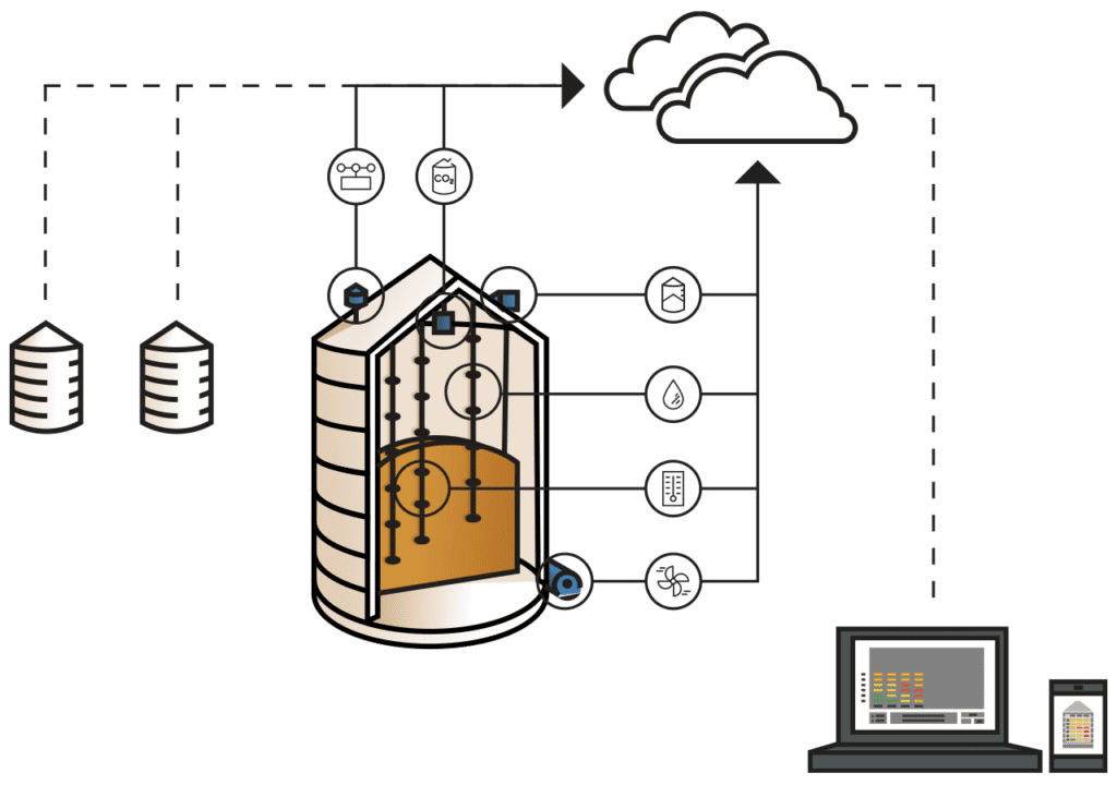
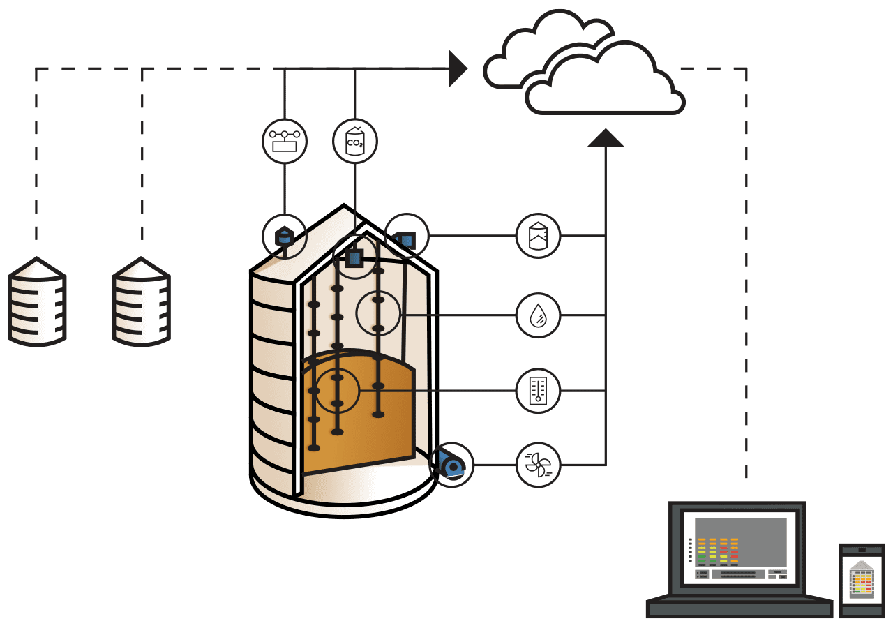
Technology is providing the future of agriculture with answers to questions that have long been asked. How can we produce more food faster, more efficiently, with the least environmental impact at low cost to the farmer? Much like grain temperature monitoring systems have saved farmer’s stored grain, drones are determined to save farmers’ yields in the field.
Since grain is the most important source of animal and human food, we need accurate data to help protect against what looks like inevitable shortages of grain in the future. Once your grain is harvested, keep it in top pre-sale condition for as long as necessary with grain temperature monitoring.
Ask us about options here, live chat with us here, or call us at 1 800 438 8367.
Follow us on Facebook where we discuss a variety of farming topics, including grain temperature monitoring and Smart Farming.


